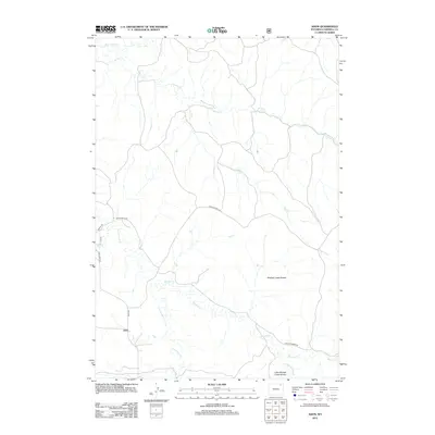
2012 Map of Adon
USGS Topo · Published 2012About this map
Adon serves as a central point in this Campbell County landscape, where the terrain is defined by a dense network of drainages and dramatic topographic shifts. The southern portion of the quadrangle is marked by the Mitchell Creek Breaks and Little Mitchell Creek Breaks, where the land drops away into complex erosion patterns carved by Mitchell Cr and Little Mitchell Cr. These "breaks" characterize the transition between upland plains and the riparian corridors.
Find a feature on this map
17 named features on this map. Tap any name to fly to it.
Don’t see what you’re looking for? This feature index may not catch every label — zoom into the map to look around manually.
Map Details
Editions of this 2012 Adon Map
This is the sole edition of this map. No revisions or reprints were ever made.
Other maps of this area

1954 · Gillette
USGS Topo · 1:250,000

1955 · Gillette
USGS Topo · 1:250,000

1958 · Gillette
USGS Topo · 1:250,000

1962 · Gillette
USGS Topo · 1:250,000
1971 · Rozet NE
USGS Topo · 1:24,000
1971 · Rozet NW
USGS Topo · 1:24,000

1971 · Green Hill
USGS Topo · 1:24,000
1972 · Gillette
USGS Topo · 1:100,000
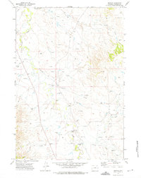
1972 · Weston
USGS Topo · 1:24,000
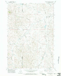
1972 · Brislawn School
USGS Topo · 1:24,000