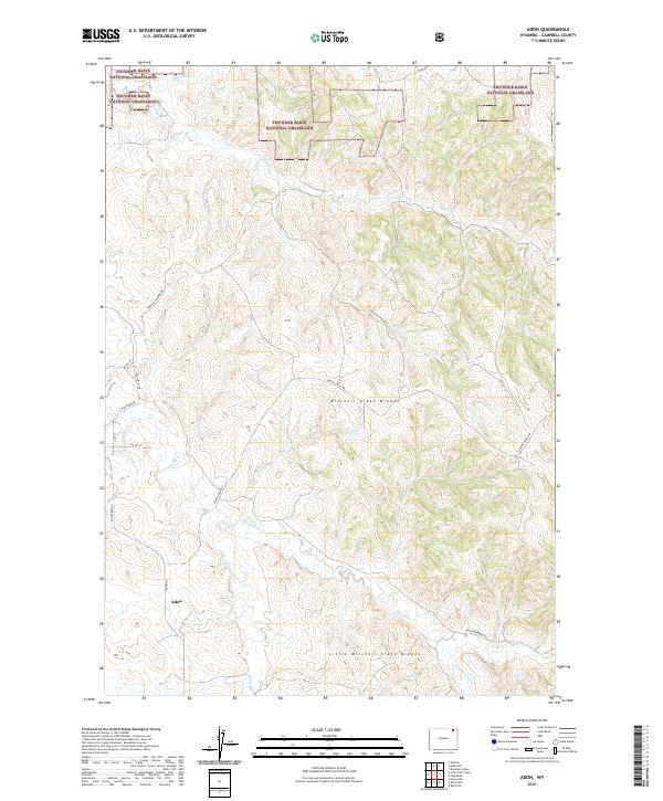
2021 Map of Adon
USGS Topo · Published 2021About this map
The high plains of Campbell County are dominated by the vast protected reaches of Thunder Basin National Grassland and the intricate drainage networks of the Powder River Basin. The small settlement of Adon sits near the southern edge of the sheet, serving as a focal point for a landscape defined by ranching and resource management. The terrain is characterized by the Mitchell Creek Breaks and Little Mitchell Creek Breaks, where the land drops away into more complex erosional features. A network of rural routes, including Waggon Hammer Rd and Eychander Rd, connect isolated homesteads across these breaks. These named roads and the numerous seasonal watercourses like Cottonwood Cr and Wild Horse Cr illustrate the enduring spatial organization of this cattle-country environment.
Find a feature on this map
26 named features on this map. Tap any name to fly to it.
Don’t see what you’re looking for? This feature index may not catch every label — zoom into the map to look around manually.
Map Details
Editions of this 2021 Adon Map
This is the sole edition of this map. No revisions or reprints were ever made.
Other maps of this area

1954 · Gillette
USGS Topo · 1:250,000

1955 · Gillette
USGS Topo · 1:250,000

1958 · Gillette
USGS Topo · 1:250,000

1962 · Gillette
USGS Topo · 1:250,000
1971 · Rozet NE
USGS Topo · 1:24,000
1971 · Rozet NW
USGS Topo · 1:24,000

1971 · Green Hill
USGS Topo · 1:24,000
1972 · Gillette
USGS Topo · 1:100,000
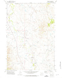
1972 · Weston
USGS Topo · 1:24,000
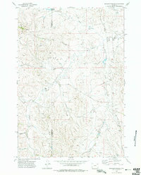
1972 · Brislawn School
USGS Topo · 1:24,000