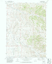
1972 Map of Adon
USGS Topo · Published 1987About this map
Adon serves as the small focal point of this 1970s landscape in Campbell County, which is defined by an extensive network of industrial resource extraction. The terrain is densely punctuated by dozens of Drill Hole and Oil Well sites, connected by a prominent Pipeline and several Landing Strips that reflect the energy-driven economy of the era.
Find a feature on this map
16 named features on this map. Tap any name to fly to it.
Don’t see what you’re looking for? This feature index may not catch every label — zoom into the map to look around manually.
Map Details
Editions of this 1972 Adon Map
This is the sole edition of this map. No revisions or reprints were ever made.
Other maps of this area

1954 · Gillette
USGS Topo · 1:250,000

1955 · Gillette
USGS Topo · 1:250,000

1958 · Gillette
USGS Topo · 1:250,000

1962 · Gillette
USGS Topo · 1:250,000
1971 · Rozet NE
USGS Topo · 1:24,000
1971 · Rozet NW
USGS Topo · 1:24,000

1971 · Green Hill
USGS Topo · 1:24,000
1972 · Gillette
USGS Topo · 1:100,000
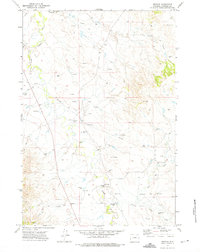
1972 · Weston
USGS Topo · 1:24,000
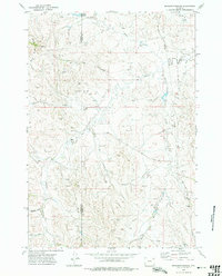
1972 · Brislawn School
USGS Topo · 1:24,000