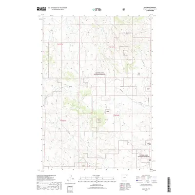
2017 Map of Adon NW
USGS Topo · Published 2017About this map
Thunder Basin National Grassland dominates this section of Campbell County, where the high plains terrain is defined by a network of seasonal drainages and creek beds. The landscape is marked by the Duck Creek Breaks in the northeast, while numerous family-named landmarks such as Heald Draw, Anderson Draw, and Canoy Draw suggest the area's ranching heritage. Water is a defining element of this landscape, with the complex branching of Duck Cr, including its S Fork Duck Cr and W Fork Duck Cr, alongside Wild Horse Cr and Flat Cr. A sparse network of rural routes, including Castle Rock Rd, Heald Rd, and L A Ranch Rd, provides the only access through these public and private lands, reflecting the enduringly open and working character of the Wyoming grassland.
Find a feature on this map
21 named features on this map. Tap any name to fly to it.
Don’t see what you’re looking for? This feature index may not catch every label — zoom into the map to look around manually.
Map Details
Editions of this 2017 Adon NW Map
This is the sole edition of this map. No revisions or reprints were ever made.
Other maps of this area

1954 · Gillette
USGS Topo · 1:250,000

1955 · Gillette
USGS Topo · 1:250,000

1958 · Gillette
USGS Topo · 1:250,000

1962 · Gillette
USGS Topo · 1:250,000
1972 · Bonnie Reservoir
USGS Topo · 1:24,000
1972 · Tuttle Draw
USGS Topo · 1:24,000
1972 · Bowman Hill
USGS Topo · 1:24,000
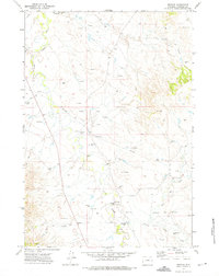
1972 · Weston
USGS Topo · 1:24,000
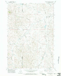
1972 · Brislawn School
USGS Topo · 1:24,000
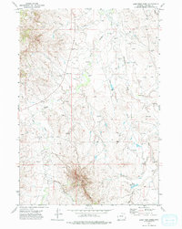
1972 · Lone Tree Creek
USGS Topo · 1:24,000