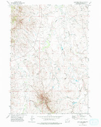
1972 Map of Lone Tree Creek
USGS Topo · Published 1975About this map
The Little Powder River and Lone Tree Creek dominate this 1970s landscape in Campbell County, where the high plains meet complex drainage systems. The survey reveals a region defined by its hydrography and an active energy-extraction economy, with numerous labels for Oil Well and Drill Hole sites scattered across the northern and eastern portions of the quadrangle. In the south, the topography grows more distinct at the Cow Creek Breaks, a rugged transition where Cow Creek and its tributaries have carved deep into the terrain.
Find a feature on this map
15 named features on this map. Tap any name to fly to it.
Don’t see what you’re looking for? This feature index may not catch every label — zoom into the map to look around manually.
Map Details
Editions of this 1972 Lone Tree Creek Map
This is the sole edition of this map. No revisions or reprints were ever made.
Other maps of this area

1954 · Gillette
USGS Topo · 1:250,000

1955 · Gillette
USGS Topo · 1:250,000

1958 · Gillette
USGS Topo · 1:250,000

1962 · Gillette
USGS Topo · 1:250,000
1971 · Rozet NW
USGS Topo · 1:24,000

1971 · Green Hill
USGS Topo · 1:24,000
1971 · Moyer Springs
USGS Topo · 1:24,000
1972 · Oliver Draw
USGS Topo · 1:24,000
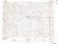
1972 · Gillette
USGS Topo · 1:100,000
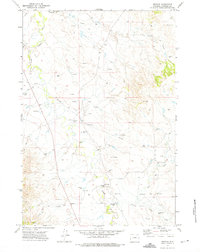
1972 · Weston
USGS Topo · 1:24,000