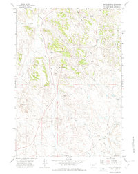
1971 Map of Moyer Springs
USGS Topo · Published 1975About this map
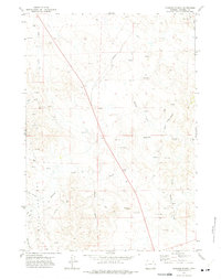
The Little Powder River winds through this section of Campbell County, carving a landscape defined by an intricate network of ephemeral draws and permanent springs. In the early 1970s, the region supported a specialized mix of ranching operations and nascent resource extraction, as evidenced by the Springen Ranch and the presence of an Oil Field and multiple Gravel Pit sites. These industrial markers are balanced by community-focused sites like the Wildwood Christian Retreat, located near several named water sources such as Six Half Circle Spring.
Find a feature on this map
27 named features on this map. Tap any name to fly to it.
Don’t see what you’re looking for? This feature index may not catch every label — zoom into the map to look around manually.
Map Details
Editions of this 1971 Moyer Springs Map
2 editions found
Other maps of this area

1954 · Gillette
USGS Topo · 1:250,000

1955 · Gillette
USGS Topo · 1:250,000

1958 · Gillette
USGS Topo · 1:250,000

1962 · Gillette
USGS Topo · 1:250,000

1971 · Gillette East
USGS Topo · 1:24,000

1971 · Green Hill
USGS Topo · 1:24,000
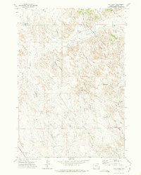
1971 · Calf Creek
USGS Topo · 1:24,000
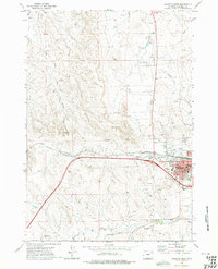
1971 · Gillette West
USGS Topo · 1:24,000
1971 · Rawhide School
USGS Topo · 1:24,000
1971 · Fortin Draw
USGS Topo · 1:24,000