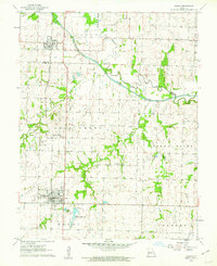
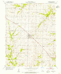
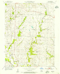
1961 Map of Adrian
USGS Topo · Published 1962About this map
The Missouri Pacific railroad corridor anchors the western half of this Bates and Cass County landscape, connecting the established grid of Adrian to the village of Archie in the north. This early 1960s survey documents a region defined by its complex drainage network, where the South Grand River meanders across the central plains, flanked by the Old Channel and various tributaries like Eightmile Creek and Mormon Fork. Smaller community hubs such as Crescent Hill and the Coleville Community Hall appear as rural anchors alongside the Fairview Sch. For those researching local family history, the map provides precise locations for the Crescent Hill Cem and Austin Cem, alongside the infrastructure of the Adrian Reservoir and local utilities like the Sewage Disposal plant. The intersection of rail transport and river hydrology highlights the traditional agricultural and settlement patterns of western Missouri before significant modern development altered these rural townships.
Find a feature on this map
25 named features on this map. Tap any name to fly to it.
Don’t see what you’re looking for? This feature index may not catch every label — zoom into the map to look around manually.
Map Details
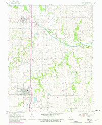
Editions of this 1961 Adrian Map
3 editions found
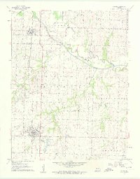
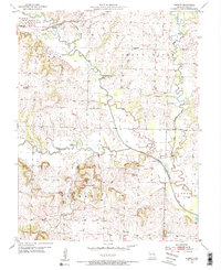
Other maps of this area

1887 · Harrisonville
USGS Topo · 1:125,000

1887 · Butler
USGS Topo · 1:125,000

1892 · Harrisonville
USGS Topo · 1:125,000

1894 · Harrisonville
USGS Topo · 1:125,000

1894 · Butler
USGS Topo · 1:125,000

1947 · Lawrence
USGS Topo · 1:250,000

1950 · Lawrence
USGS Topo · 1:250,000
1953 · Everett
USGS Topo · 1:24,000
1954 · Garden City
USGS Topo · 1:24,000
1954 · Austin
USGS Topo · 1:24,000