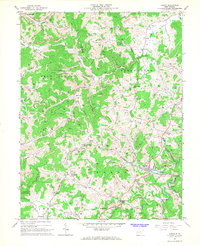
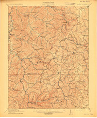
1966 Map of Adrian
USGS Topo · Published 1967About this map
The Baltimore and Ohio railroad corridor anchors this mid-century portrait of central West Virginia, winding through the valley between Adrian and Frenchton. The landscape is a complex network of narrow hollows and ridges, where small communities like McCue Town and Abbott grew along the watercourses. Natural resource extraction is a visible driver of the local economy, with numerous gas wells dotting the hillsides and a strip mine operating near the Lewis and Upshur county line.
Find a feature on this map
61 named features on this map. Tap any name to fly to it.
Don’t see what you’re looking for? This feature index may not catch every label — zoom into the map to look around manually.
Map Details
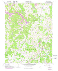
Editions of this 1966 Adrian Map
2 editions found
Other maps of this area

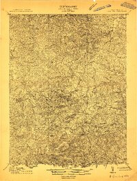
1893 · Buckhannon
USGS Topo · 1:125,000

1896 · Buckhannon
USGS Topo · 1:125,000

1897 · Buckhannon
USGS Topo · 1:125,000

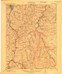
1904 · Philippi
USGS Topo · 1:62,500
1904 · Weston
USGS Topo · 1:62,500
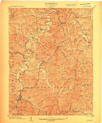
1912 · Sago
USGS Topo · 1:48,000
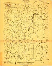
1912 · Crawford
USGS Topo · 1:48,000
1914 · Sago
USGS Topo · 1:62,500
1914 · Crawford
USGS Topo · 1:62,500

1925 · Philippi
USGS Topo · 1:62,500