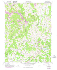
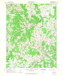
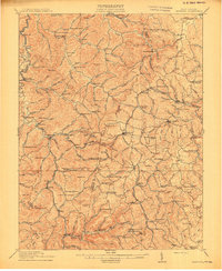
1966 Map of Adrian
USGS Topo · Published 1979About this map
Baltimore and Ohio rail lines cut through this rugged West Virginia landscape, following the winding course of the Buckhannon River and its tributaries. The map documents an era of industrial transition, where the expansion of the Stonecoal Reservoir and numerous strip mines contrast with established crossroads like Adrian and Abbott. Local history is deeply etched into the hillsides through family-named landmarks and rural congregations, including Reger Chapel, Spruce Lick Ch, and Mt Olivie Ch.
Find a feature on this map
67 named features on this map. Tap any name to fly to it.
Don’t see what you’re looking for? This feature index may not catch every label — zoom into the map to look around manually.
Map Details
Editions of this 1966 Adrian Map
2 editions found
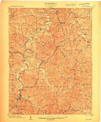
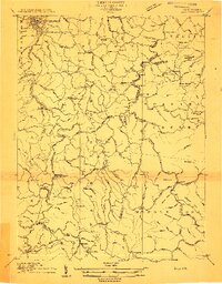
Other maps of this area

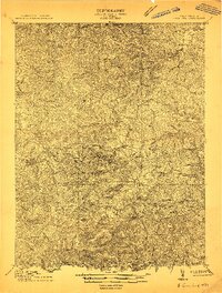
1893 · Buckhannon
USGS Topo · 1:125,000

1896 · Buckhannon
USGS Topo · 1:125,000

1897 · Buckhannon
USGS Topo · 1:125,000

1904 · Philippi
USGS Topo · 1:62,500
1904 · Weston
USGS Topo · 1:62,500
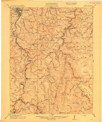
1912 · Sago
USGS Topo · 1:48,000
1912 · Crawford
USGS Topo · 1:48,000
1914 · Sago
USGS Topo · 1:62,500
1914 · Crawford
USGS Topo · 1:62,500

1925 · Philippi
USGS Topo · 1:62,500