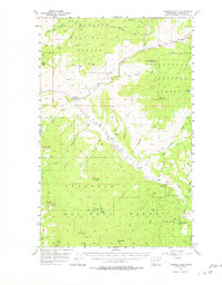
1957 Map of Aeneas Valley
USGS Topo · Published 1978About this map
Wauconda sits in the northeastern corner of this highland region, serving as a gateway to the high elevations of the Okanogan National Forest. The landscape is defined by the broad Aeneas Valley, where a chain of small water bodies including Gooseberry Lake, Long Lake, and Round Lake follows the valley floor. To the south, the topography rises sharply toward prominent peaks like Tunk Mtn, which is capped by the VABM 6054 Lookout, and Aeneas Mtn. This 1950s-era survey reveals a rugged interior managed for forestry and conservation, centered around the Aeneas Guard Sta. Local community life is anchored at the Sunny Slope Grange Hall along Bonaparte Creek, while drainage patterns like the West Fork Sanpoil River and South Fork Siwash Creek carve deep through the mountain blocks, illustrating the complex hydrology of the Okanogan highlands before modern development.
Find a feature on this map
44 named features on this map. Tap any name to fly to it.
Don’t see what you’re looking for? This feature index may not catch every label — zoom into the map to look around manually.
Map Details
Editions of this 1957 Aeneas Valley Map
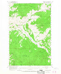
3 editions found

Other maps of this area

1902 · Osoyoos
USGS Topo · 1:125,000

1904 · Osoyoos
USGS Topo · 1:125,000

1904 · Republic
USGS Topo · 1:125,000

1951 · Wauconda
USGS Topo · 1:62,500

1951 · Bodie Mountain
USGS Topo · 1:62,500

1952 · Disautel
USGS Topo · 1:62,500

1953 · Bald Knob
USGS Topo · 1:62,500

1953 · Omak Lake
USGS Topo · 1:62,500

1954 · Okanogan
USGS Topo · 1:250,000

1957 · Mt. Bonaparte
USGS Topo · 1:62,500