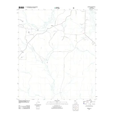
2012 Map of Afeman
USGS Topo · Published 2012About this map
Mount Moriah Cem and Upper Mount Moriah Cem stand near the center of this rural Rapides Parish landscape, illustrating the deep-rooted family connections in the central Louisiana pinewoods. The terrain is defined by an intricate network of waterways, with the Calcasieu River flowing through the northeast corner and various tributaries like Tenmile Cr, Blounts Cr, and Thompson Br draining the surrounding timberlands.
Find a feature on this map
46 named features on this map. Tap any name to fly to it.
Don’t see what you’re looking for? This feature index may not catch every label — zoom into the map to look around manually.
Map Details
Editions of this 2012 Afeman Map
This is the sole edition of this map. No revisions or reprints were ever made.
Other maps of this area

1935 · Pawnee
USGS Topo · 1:31,680

1942 · Oakdale
USGS Topo · 1:62,500

1943 · Leander
USGS Topo · 1:62,500

1947 · Steep Gully
USGS Topo · 1:31,680

1947 · Pitkin
USGS Topo · 1:31,680
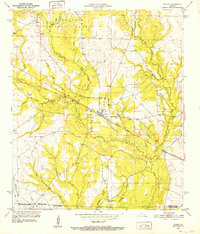
1951 · Pitkin
USGS Topo · 1:24,000

1951 · Steep Gully
USGS Topo · 1:24,000

1952 · Lake Charles
USGS Topo · 1:250,000

1953 · Alexandria
USGS Topo · 1:250,000
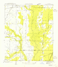
1954 · Pawnee
USGS Topo · 1:31,680