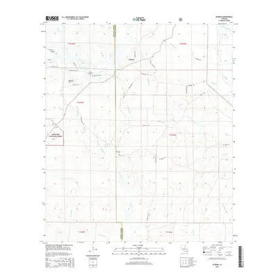
2015 Map of Afeman
USGS Topo · Published 2015About this map
Kisatchie National Forest dominates the western landscape of this central Louisiana parish, where the terrain is defined by an intricate network of waterways draining toward the Calcasieu River. The map shows a rural environment where local history is preserved in family-named routes and sacred sites. Small communities like Afeman and Cora serve as anchors in a region crisscrossed by numerous tributaries including Tenmile Cr, Big Cr, and Swetz Cr.
Find a feature on this map
45 named features on this map. Tap any name to fly to it.
Don’t see what you’re looking for? This feature index may not catch every label — zoom into the map to look around manually.
Map Details
Editions of this 2015 Afeman Map
This is the sole edition of this map. No revisions or reprints were ever made.
Other maps of this area

1935 · Pawnee
USGS Topo · 1:31,680

1942 · Oakdale
USGS Topo · 1:62,500

1943 · Leander
USGS Topo · 1:62,500

1947 · Steep Gully
USGS Topo · 1:31,680

1947 · Pitkin
USGS Topo · 1:31,680
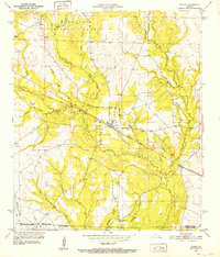
1951 · Pitkin
USGS Topo · 1:24,000

1951 · Steep Gully
USGS Topo · 1:24,000

1952 · Lake Charles
USGS Topo · 1:250,000

1953 · Alexandria
USGS Topo · 1:250,000
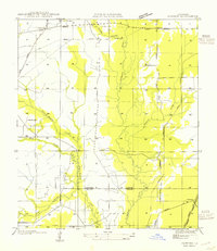
1954 · Pawnee
USGS Topo · 1:31,680