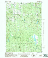
1986 Map of Afton
USGS Topo · Published 1986About this map
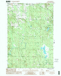
Mackinaw State Forest dominates this northern Michigan landscape, where the settlements of Afton and Kimberly sit at the northwestern edge of a vast network of watercourses and timberland. The topography is defined by the winding paths of the Pigeon River and the Little Pigeon River, which flow through the western sections. Evidence of earlier industrial transport is visible in the southeastern corner, where an Old RR Grade cuts across the terrain near McMasters Creek, marking the path of a former rail line through the woods.
Find a feature on this map
26 named features on this map. Tap any name to fly to it.
Don’t see what you’re looking for? This feature index may not catch every label — zoom into the map to look around manually.
Map Details
Editions of this 1986 Afton Map
2 editions found
Other maps of this area

1954 · Gaylord
USGS Topo · 1:62,500

1954 · Hetherton
USGS Topo · 1:62,500

1955 · Cheboygan
USGS Topo · 1:250,000

1957 · Tower
USGS Topo · 1:62,500

1957 · Wolverine
USGS Topo · 1:62,500

1958 · Cheboygan
USGS Topo · 1:250,000

1982 · Petoskey
USGS Topo · 1:100,000

1986 · Silver Lake
USGS Topo · 1:24,000
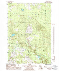
1986 · Legrand
USGS Topo · 1:24,000
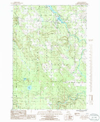
1986 · Tower
USGS Topo · 1:24,000