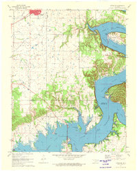
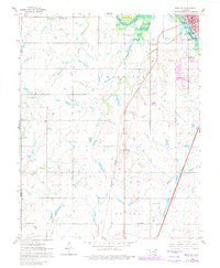
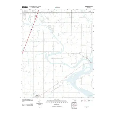
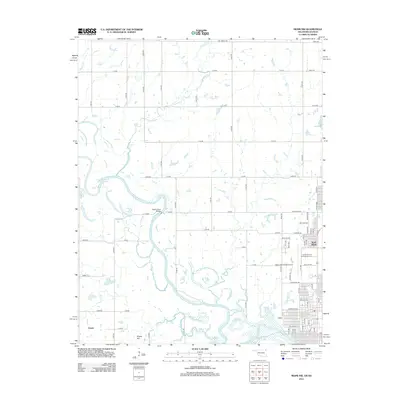
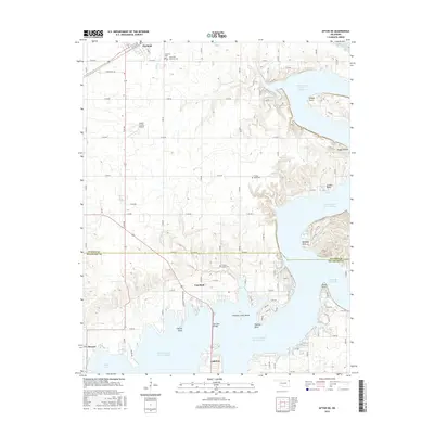
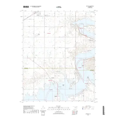
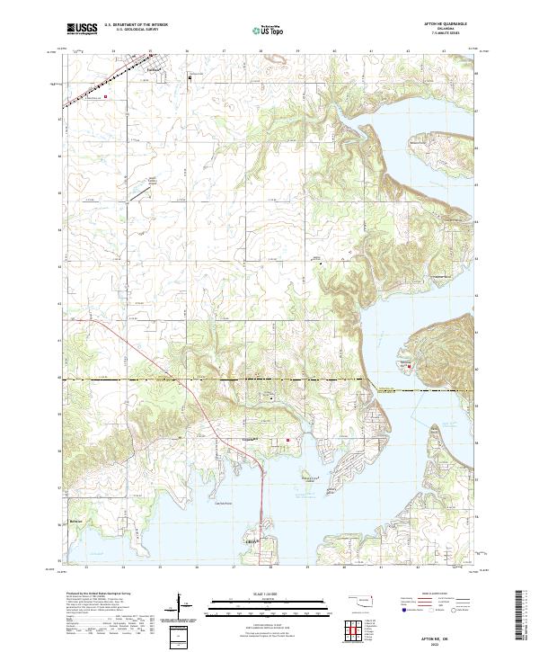
1971 Map of Afton NE
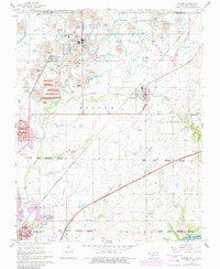
USGS Topo · Published 1973About this map
The town of Fairland sits at the northern end of this landscape, positioned along the St Louis-San Francisco railroad line. To the south, the sprawling waters of Lake O' the Cherokees dominate the terrain, creating a complex shoreline where the Neosho River and Elk River converge. The mapping of the Ottawa Co Delaware Co boundary line shows it cutting directly through the middle of the lake, north of Grove.
Find a feature on this map
34 named features on this map. Tap any name to fly to it.
Don’t see what you’re looking for? This feature index may not catch every label — zoom into the map to look around manually.
Map Details
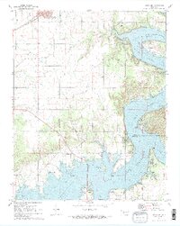
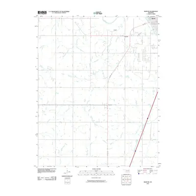
Editions of this 1971 Afton NE Map
2 editions found
Historical Maps of Grove Through Time
30 maps found
1961 Miami NW
Ottawa County, OK
1961 Miami SE
Ottawa County, OK
1961 Miami SW
Ottawa County, OK
1961 Picher
Ottawa County, OK
1971 Afton NE
Ottawa County, OK
2010 Afton NE
Ottawa County, OK
2010 Miami NW
Ottawa County, OK
2010 Miami SE
Ottawa County, OK
2010 Miami SW
Ottawa County, OK
2010 Picher
Ottawa County, OK
2012 Afton NE
Ottawa County, OK
2012 Miami NW
Ottawa County, OK
2012 Miami SE
Ottawa County, OK
2012 Miami SW
Ottawa County, OK
2012 Picher
Ottawa County, OK
2016 Afton NE
Ottawa County, OK
2016 Miami NW
Ottawa County, OK
2016 Miami SE
Ottawa County, OK
2016 Miami SW
Ottawa County, OK
2016 Picher
Ottawa County, OK
2018 Afton NE
Ottawa County, OK
2018 Miami NW
Ottawa County, OK
2018 Miami SE
Ottawa County, OK
2018 Miami SW
Ottawa County, OK
2018 Picher
Ottawa County, OK
2022 Afton NE
Ottawa County, OK
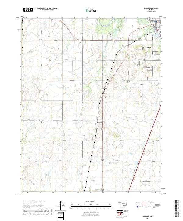
2022 Miami SE
Ottawa County, OK
2022 Miami SW
Ottawa County, OK
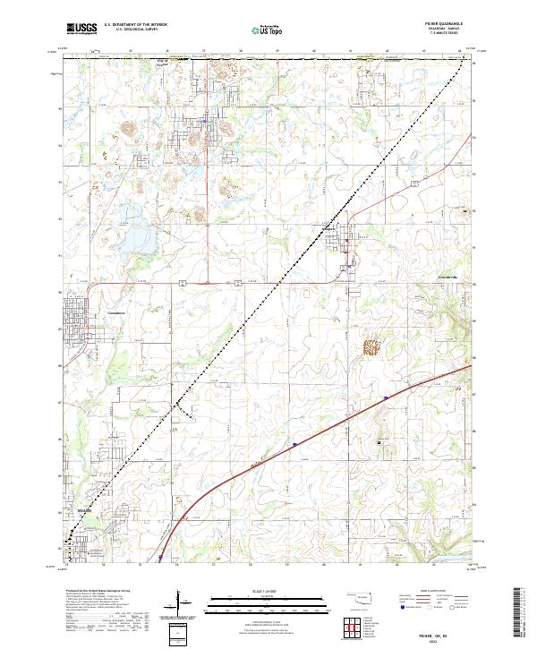
2022 Picher
Ottawa County, OK
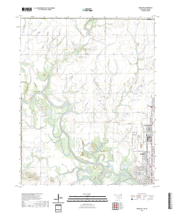
2023 Miami NW
Ottawa County, OK