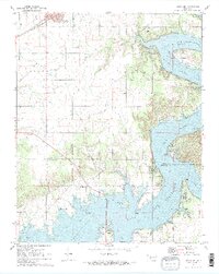
1971 Map of Afton NE
USGS Topo · Published 1973About this map
Fairland sits at the northern edge of this landscape, where the St Louis San Francisco railroad cuts across the prairie. The map captures a significant transition in the Grand Lake area, dominated by the sprawling waters of Lake O' The Cherokees. This massive impoundment of the Neosho River and Elk River fundamentally reshaped the local geography, creating intricate shorelines around Sulphur Bend and Hickory Point. Local history is anchored by several rural landmarks, including the Hickory Grove Ch and its neighboring Hickory Grove Cem, while the Sailboat Bridge provides a vital link across the water toward Grove. An Old Railroad Grade and the Council House site hint at older layers of infrastructure and community life in this corner of the Cherokee Nation.
Find a feature on this map
44 named features on this map. Tap any name to fly to it.
Don’t see what you’re looking for? This feature index may not catch every label — zoom into the map to look around manually.
Map Details
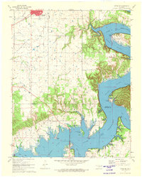
Editions of this 1971 Afton NE Map
2 editions found
Other maps of this area

1907 · Wyandotte
USGS Topo · 1:125,000

1909 · Wyandotte
USGS Topo · 1:125,000

1954 · Tulsa
USGS Topo · 1:250,000

1958 · Tulsa
USGS Topo · 1:250,000

1961 · Miami SE
USGS Topo · 1:24,000

1961 · Wyandotte
USGS Topo · 1:24,000

1961 · Miami SW
USGS Topo · 1:24,000

1963 · Tulsa
USGS Topo · 1:250,000
1964 · Cayuga
USGS Topo · 1:24,000

1964 · Dodge
USGS Topo · 1:24,000