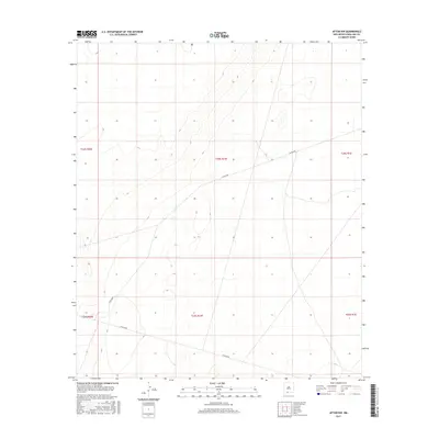
2017 Map of Afton NW
USGS Topo · Published 2017About this map
Public Land Survey System boundaries, including the intersection of T24s R1w, T24s R2w, and T24s R1e, define the organization of this high desert landscape northwest of Afton. The terrain is characterized by subtle elevation changes and an expansive drainage network captured through detailed contour intervals. Human activity is marked primarily by rural transportation corridors, most notably Co Rd B006 and Co Rd B008, which cut across the township and range grids. This 2017 survey reflects the sparse, open character of Doña Ana County, showing the proximity of these corridors to established survey sections. The map serves as a clear record of the modern infrastructure and land divisions in a region defined more by its geography than by dense settlement.
Find a feature on this map
8 named features on this map. Tap any name to fly to it.
Don’t see what you’re looking for? This feature index may not catch every label — zoom into the map to look around manually.
Map Details
Editions of this 2017 Afton NW Map
This is the sole edition of this map. No revisions or reprints were ever made.
Other maps of this area

1891 · Las Cruces
USGS Topo · 1:125,000

1893 · Las Cruces
USGS Topo · 1:125,000

1941 · Las Cruces
USGS Topo · 1:62,500

1941 · Aden
USGS Topo · 1:62,500

1943 · Aden
USGS Topo · 1:62,500

1943 · Corralitos Ranch
USGS Topo · 1:62,500

1943 · Afton
USGS Topo · 1:62,500

1943 · Las Cruces
USGS Topo · 1:62,500

1955 · Las Cruces
USGS Topo · 1:250,000

1958 · Las Cruces
USGS Topo · 1:250,000