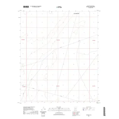
2020 Map of Afton NW
USGS Topo · Published 2020About this map
Las Cruces boundary lines extend into the northern reaches of this desert landscape, where the terrain is defined by the organized grid of the Public Land Survey System. The map highlights the intersection of several townships, including t24s r1w and t25s r1w, illustrating how modern administrative boundaries are superimposed over the arid basin floor. Transportation across this open expanse is limited to a few key thoroughfares, most notably Afton Rd and county routes like Co Rd B006. These roads provide critical access through the desert, following the subtle contour changes of the Chihuahuan Desert environment. The sparse distribution of named features emphasizes the vast, open character of the region southwest of the main metropolitan center during the early twenty-first century.
Find a feature on this map
10 named features on this map. Tap any name to fly to it.
Don’t see what you’re looking for? This feature index may not catch every label — zoom into the map to look around manually.
Map Details
Editions of this 2020 Afton NW Map
This is the sole edition of this map. No revisions or reprints were ever made.
Other maps of this area

1891 · Las Cruces
USGS Topo · 1:125,000

1893 · Las Cruces
USGS Topo · 1:125,000

1941 · Las Cruces
USGS Topo · 1:62,500

1941 · Aden
USGS Topo · 1:62,500

1943 · Aden
USGS Topo · 1:62,500

1943 · Corralitos Ranch
USGS Topo · 1:62,500

1943 · Afton
USGS Topo · 1:62,500

1943 · Las Cruces
USGS Topo · 1:62,500

1955 · Las Cruces
USGS Topo · 1:250,000

1958 · Las Cruces
USGS Topo · 1:250,000