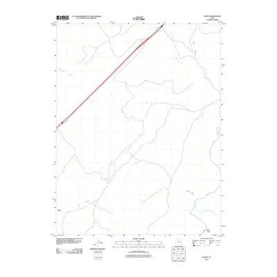
2011 Map of Agate
USGS Topo · Published 2011About this map
Agate is situated in a high-desert landscape defined by complex drainage patterns and dramatic river systems. The Colorado River enters the eastern edge of the area, joined by the Little Dolores River at Marble Canyon. This 2011 survey documents the terrain just as the interstate highway corridor bisects the arid expanses of Grand County, connecting the remote washes and draws. The landscape is carved by seasonal watercourses like Cottonwood Wash, Agate Wash, and Westwater Creek, which define the local topography. Features such as Little Hole and Coal Draw suggest a history of livestock grazing and early mineral exploration in this corner of eastern Utah. The map preserves the sparse settlement patterns of the region, showing how the primary highway and local routes negotiate the broken ground near the river canyons.
Find a feature on this map
9 named features on this map. Tap any name to fly to it.
Don’t see what you’re looking for? This feature index may not catch every label — zoom into the map to look around manually.
Map Details
Editions of this 2011 Agate Map
This is the sole edition of this map. No revisions or reprints were ever made.
Other maps of this area

1885 · East Tavaputs
USGS Topo · 1:250,000

1885 · La Sal
USGS Topo · 1:250,000

1954 · Westwater 4 SW
USGS Topo · 1:24,000

1954 · Mt. Waas 1 NE
USGS Topo · 1:24,000

1954 · Mt. Waas 1 NW
USGS Topo · 1:24,000

1954 · Coates Creek
USGS Topo · 1:62,500

1956 · Westwater 4 SE
USGS Topo · 1:24,000

1956 · Moab
USGS Topo · 1:250,000

1956 · Grand Junction
USGS Topo · 1:250,000

1958 · Cisco
USGS Topo · 1:62,500