
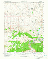
1958 Map of Cisco
USGS Topo · Published 1960About this map
Cisco and the surrounding desert landscape are defined by the convergence of industrial infrastructure and the winding path of the Colorado River in the late 1950s. The northern portion of the map is dominated by the Denver and Rio Grande Western Railroad, supporting local extraction efforts including various Oil and Gas Wells and Artesian Wells. The presence of the United States Atomic Energy Commission in the margin highlights the era's focus on mineral prospecting, evidenced by the Cactus Rat Mine and nearby shafts.
Find a feature on this map
56 named features on this map. Tap any name to fly to it.
Don’t see what you’re looking for? This feature index may not catch every label — zoom into the map to look around manually.
Map Details
Editions of this 1958 Cisco Map
3 editions found
Other maps of this area

1885 · East Tavaputs
USGS Topo · 1:250,000

1885 · La Sal
USGS Topo · 1:250,000

1954 · Westwater 4 SW
USGS Topo · 1:24,000

1954 · Mt. Waas 4 NW
USGS Topo · 1:24,000

1954 · Mt. Waas 3 NE
USGS Topo · 1:24,000

1954 · Mt. Waas 1 SW
USGS Topo · 1:24,000

1954 · Mt. Waas 3 NW
USGS Topo · 1:24,000

1954 · Mt. Waas 1 NW
USGS Topo · 1:24,000

1954 · Coates Creek
USGS Topo · 1:62,500

1954 · Polar Mesa
USGS Topo · 1:62,500