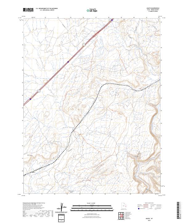
2023 Map of Agate
USGS Topo · Published 2023About this map
The settlement of Agate sits in the high desert of eastern Utah, where the rail infrastructure of Agate Siding serves as a lone point of modern transit in a landscape carved by deep drainages and canyons. The Grand Valley dominates the central portion of this sheet, bracketed by the dramatic descent of Westwater Canyon to the southeast. Here, the Colorado River and the Little Dolores River converge near Little Hole, cutting through red-rock formations like Snyder Mesa and Marble Canyon.
Find a feature on this map
20 named features on this map. Tap any name to fly to it.
Don’t see what you’re looking for? This feature index may not catch every label — zoom into the map to look around manually.
Map Details
Editions of this 2023 Agate Map
This is the sole edition of this map. No revisions or reprints were ever made.
Other maps of this area

1885 · East Tavaputs
USGS Topo · 1:250,000

1885 · La Sal
USGS Topo · 1:250,000

1954 · Westwater 4 SW
USGS Topo · 1:24,000

1954 · Mt. Waas 1 NE
USGS Topo · 1:24,000

1954 · Mt. Waas 1 NW
USGS Topo · 1:24,000

1954 · Coates Creek
USGS Topo · 1:62,500

1956 · Westwater 4 SE
USGS Topo · 1:24,000

1956 · Moab
USGS Topo · 1:250,000

1956 · Grand Junction
USGS Topo · 1:250,000

1958 · Cisco
USGS Topo · 1:62,500