
1965 Map of Agenda
USGS Topo · Published 1966About this map
Agenda serves as the primary hub of this North Central Kansas landscape, positioned along the north-south corridor of the Chicago Rock Island and Pacific railroad. The terrain is defined by the winding drainages of Elk Creek and its various tributaries, including Turkey Creek and the West Fork, which carve through the agricultural uplands. This 1960s survey illustrates a rural economy reliant on rail transport and resource extraction, evidenced by the scattered Gravel Pits and industrial Pipelines cutting across the sections. Genealogists can identify key local landmarks such as Willoughby Cem in the northern reaches of the quadrangle and Agenda Cem closer to the town center. The map also delineates the boundary between Republic Co Cloud Co, providing a clear look at township divisions including Richland, Grant, and Elk Creek during a period of established mid-century farming.
Find a feature on this map
17 named features on this map. Tap any name to fly to it.
Don’t see what you’re looking for? This feature index may not catch every label — zoom into the map to look around manually.
Map Details
Editions of this 1965 Agenda Map
This is the sole edition of this map. No revisions or reprints were ever made.
Other maps of this area

1892 · Concordia
USGS Topo · 1:125,000

1893 · Washington
USGS Topo · 1:125,000

1955 · Manhattan
USGS Topo · 1:250,000

1956 · Manhattan
USGS Topo · 1:250,000

1957 · Manhattan
USGS Topo · 1:250,000

1965 · Clifton
USGS Topo · 1:24,000

1965 · Brantford
USGS Topo · 1:24,000

1965 · Wayne
USGS Topo · 1:24,000
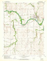
1965 · Clyde
USGS Topo · 1:24,000
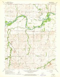
1965 · Rice
USGS Topo · 1:24,000