
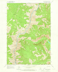
1962 Map of Aggipah Mtn
USGS Topo · Published 1964About this map
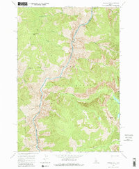
Middle Fork Salmon River carves a deep path through the heart of this central Idaho wilderness, serving as the primary geographical axis for a region defined by high peaks and river navigation. Surveyed in the early 1960s, the map reveals the complex intersection of the Salmon National Forest and Payette National Forest, where high-altitude landmarks like Aggipah Mtn and the granite spires of the Bighorn Crags overlook the river valley.
Find a feature on this map
30 named features on this map. Tap any name to fly to it.
Don’t see what you’re looking for? This feature index may not catch every label — zoom into the map to look around manually.
Map Details
Editions of this 1962 Aggipah Mtn Map
3 editions found
Other maps of this area

1956 · Elk City
USGS Topo · 1:250,000

1960 · Elk City
USGS Topo · 1:250,000

1962 · Hoodoo Meadows
USGS Topo · 1:24,000

1962 · Long Tom Mtn
USGS Topo · 1:24,000

1962 · Puddin Mtn
USGS Topo · 1:24,000

1962 · Papoose Peak
USGS Topo · 1:24,000

1962 · Mt Mc Guire
USGS Topo · 1:24,000

1962 · Dave Lewis Peak
USGS Topo · 1:24,000

1962 · Butts Creek Point
USGS Topo · 1:24,000

1977 · Cottonwood Butte
USGS Topo · 1:24,000