Loading...
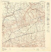
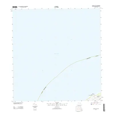
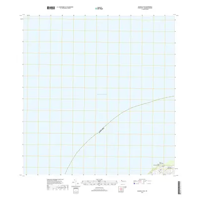
Loading map...2024 Map of Aguadilla OE N
USGS Topo · Published 2024About this map
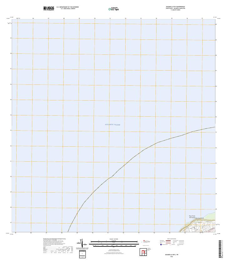
The vast expanse of the Atlantic Ocean dominates this coastal survey, where the northwestern tip of Puerto Rico meets the sea at Punta Agujereada. The land area is concentrated in the extreme southeastern corner of the sheet, focusing on the coastal settlement of Playa Punta Borinquen. This area is defined by a dense network of specialized roads, including Wing Rd, Belt Rd, and Hook Rd, which suggest a planned residential or institutional layout near the water's edge.
Find a feature on this map
11 named features on this map. Tap any name to fly to it.
Don’t see what you’re looking for? This feature index may not catch every label — zoom into the map to look around manually.
Map Details
Date Portrayed2024
Date Published2024
PublisherU.S. Geological Survey
Map TypeTopographic
Scale1:20,000
Physical Dimensions29 x 33.5 inches
Editions of this 2024 Aguadilla OE N Map
This is the sole edition of this map. No revisions or reprints were ever made.
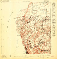
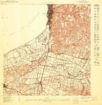
Historical Maps of Maleza Alta Through Time
7 maps found
Featured Locations
Source Details
SourceU.S. Geological Survey
CopyrightPublic Domain