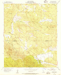
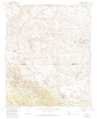
1954 Map of Aguanga
USGS Topo · Published 1955About this map
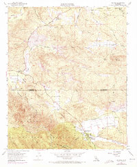
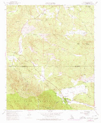
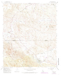
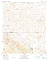
Aguanga sits at a geographic crossroads in Southern California, where the northern expanse of the Cahuilla Indian Reservation meets the rugged transitions of the Cleveland National Forest. This 1954 survey captures the landscape before significant modern development, emphasizing the importance of the valley floors for travel and settlement. The route through Oak Grove Valley is marked by significant history, specifically the Oak Grove Stage Station Historical Marker and the Camp Wright Historical Marker, signaling the area's role in early western transit and military presence.
Find a feature on this map
29 named features on this map. Tap any name to fly to it.
Don’t see what you’re looking for? This feature index may not catch every label — zoom into the map to look around manually.
Map Details
Editions of this 1954 Aguanga Map
9 editions found
Other maps of this area

1901 · Southern California Sheet No. 1
USGS Topo · 1:250,000

1901 · San Jacinto
USGS Topo · 1:125,000

1903 · Ramona
USGS Topo · 1:125,000

1904 · Southern California Sheet No. 2
USGS Topo · 1:250,000

1904 · Southern California Sheet No. 1
USGS Topo · 1:250,000

1939 · Warner Springs
USGS Topo · 1:62,500

1939 · Palomar Mountain
USGS Topo · 1:62,500

1940 · Hemet Reservoir
USGS Topo · 1:62,500

1942 · Hemet Reservoir
USGS Topo · 1:62,500

1942 · Hemet
USGS Topo · 1:62,500