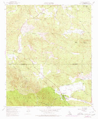
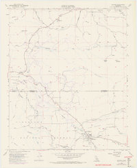
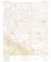
1954 Map of Aguanga
USGS Topo · Published 1980About this map
Aguanga and Oak Grove sit at the intersection of high desert valleys and forest land in the mid-1950s. This survey, with 1971 photorevisions, tracks the landscape of the Riverside Co San Diego Co border, where the Cahuilla Indian Reservation meets the northern boundary of the Cleveland National Forest. The map documents a rugged interior network of watercourses, including Temecula Creek and Tule Creek, which carve through the Aguanga Valley.
Find a feature on this map
27 named features on this map. Tap any name to fly to it.
Don’t see what you’re looking for? This feature index may not catch every label — zoom into the map to look around manually.
Map Details
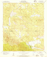
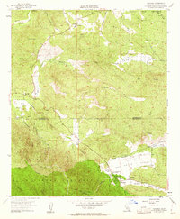
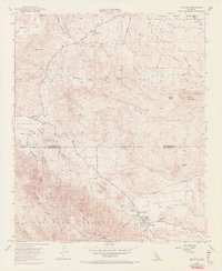
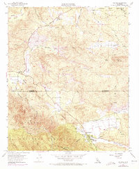
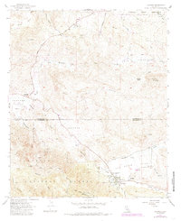
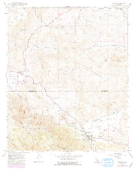
Editions of this 1954 Aguanga Map
9 editions found
Other maps of this area

1901 · Southern California Sheet No. 1
USGS Topo · 1:250,000

1901 · San Jacinto
USGS Topo · 1:125,000

1903 · Ramona
USGS Topo · 1:125,000

1904 · Southern California Sheet No. 2
USGS Topo · 1:250,000

1904 · Southern California Sheet No. 1
USGS Topo · 1:250,000

1939 · Warner Springs
USGS Topo · 1:62,500

1939 · Palomar Mountain
USGS Topo · 1:62,500

1940 · Hemet Reservoir
USGS Topo · 1:62,500

1942 · Hemet Reservoir
USGS Topo · 1:62,500

1942 · Hemet
USGS Topo · 1:62,500