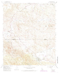
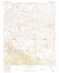
1954 Map of Aguanga
USGS Topo · Published 1985About this map
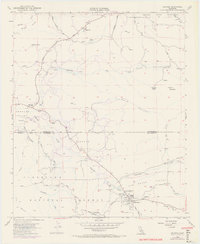
The settlement of Aguanga sits at the junction of several high-desert drainage basins, where Temecula Creek meets the seasonal flows of Tule Creek and Cottonwood Creek. This 1954 survey, updated with 1980s data, documents the rugged transition from the southern edge of the Cahuilla Indian Reservation into the Cleveland National Forest. The map captures a high degree of historical depth near Oak Grove, marking the location of the Oak Grove Stage Station Historical Marker and the Camp Wright Historical Marker. These landmarks indicate the area's importance as a mid-19th-century corridor for travel and military encampments. Surrounding these sites, the landscape is defined by broad valleys like Dameron Valley and Dodge Valley, which are punctuated by isolated peaks such as Tule Peak and Billy Goat Mtn.
Find a feature on this map
32 named features on this map. Tap any name to fly to it.
Don’t see what you’re looking for? This feature index may not catch every label — zoom into the map to look around manually.
Map Details
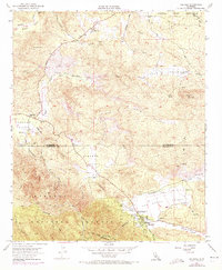
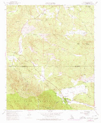
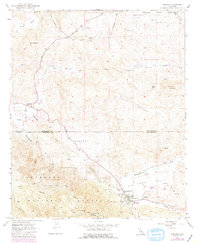
Editions of this 1954 Aguanga Map
9 editions found
Other maps of this area

1901 · Southern California Sheet No. 1
USGS Topo · 1:250,000

1901 · San Jacinto
USGS Topo · 1:125,000

1903 · Ramona
USGS Topo · 1:125,000

1904 · Southern California Sheet No. 2
USGS Topo · 1:250,000

1904 · Southern California Sheet No. 1
USGS Topo · 1:250,000

1939 · Warner Springs
USGS Topo · 1:62,500

1939 · Palomar Mountain
USGS Topo · 1:62,500

1940 · Hemet Reservoir
USGS Topo · 1:62,500

1942 · Hemet Reservoir
USGS Topo · 1:62,500

1942 · Hemet
USGS Topo · 1:62,500