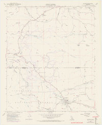
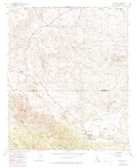
1954 Map of Aguanga
USGS Topo · Published 1972About this map
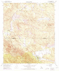
The settlement of Aguanga serves as a focal point in this 1950s survey of the high desert and mountain transition zone where the Riverside and San Diego county lines meet. The landscape is defined by the intersection of several significant valleys, including Tule Valley, Dameron Valley, and Chihuahua Valley, which supported scattered ranching and agricultural efforts. To the south, the Cleveland National Forest and Oak Grove Truck Trail indicate the rugged, managed character of the terrain, while the Cahuilla Indian Reservation occupies the northeast corner. Notable historical markers highlight the area's importance as a travel corridor, specifically the Oak Grove Stage Station Historical Marker and Camp Wright Historical Marker near the Ranger Station. The mapping of small features like the Landing Strip and various named springs such as Sycamore Spring provides evidence of local infrastructure and essential water resources in an arid environment.
Find a feature on this map
43 named features on this map. Tap any name to fly to it.
Don’t see what you’re looking for? This feature index may not catch every label — zoom into the map to look around manually.
Map Details
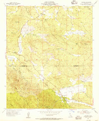
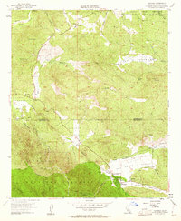
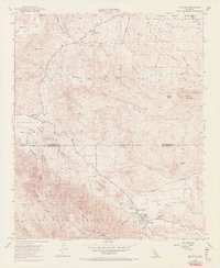
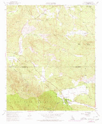
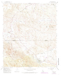
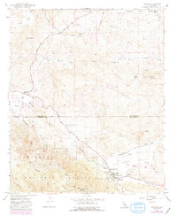
Editions of this 1954 Aguanga Map
9 editions found
Other maps of this area

1901 · Southern California Sheet No. 1
USGS Topo · 1:250,000

1901 · San Jacinto
USGS Topo · 1:125,000

1903 · Ramona
USGS Topo · 1:125,000

1904 · Southern California Sheet No. 2
USGS Topo · 1:250,000

1904 · Southern California Sheet No. 1
USGS Topo · 1:250,000

1939 · Warner Springs
USGS Topo · 1:62,500

1939 · Palomar Mountain
USGS Topo · 1:62,500

1940 · Hemet Reservoir
USGS Topo · 1:62,500

1942 · Hemet Reservoir
USGS Topo · 1:62,500

1942 · Hemet
USGS Topo · 1:62,500