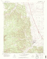
1971 Map of Aguilar
USGS Topo · Published 1974About this map
Aguilar sits at the base of the foothills where the Apishapa River emerges from the high country, serving as a focal point for the coal mining and ranching economy of early 1970s Las Animas County. The map documents an extensive history of resource extraction, from the Black Hawk Mine in the north to the Gem Mine and Prosperity Mine No 2 near the river. While Aguilar remains a primary settlement with its central St Anthony Ch, other locations such as Rouse (Site) represent the shifting footprint of industrial activity over time. The transportation network is defined by the Colorado and Southern railroad and various jeep trails that penetrate the complex topography of Gonzales Canyon and Fourmile Canyon. From the high plateau of Big Flat to the lowland settlements of Rugby and Lynn, this survey captures the intersection of natural drainage and human industry.
Find a feature on this map
40 named features on this map. Tap any name to fly to it.
Don’t see what you’re looking for? This feature index may not catch every label — zoom into the map to look around manually.
Map Details
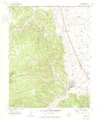
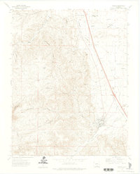
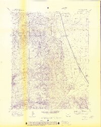
Editions of this 1971 Aguilar Map
4 editions found
Other maps of this area

1891 · Walsenburg
USGS Topo · 1:125,000

1891 · Spanish Peaks
USGS Topo · 1:125,000

1893 · Spanish Peaks
USGS Topo · 1:125,000

1894 · Walsenburg
USGS Topo · 1:125,000

1895 · Spanish Peaks
USGS Topo · 1:125,000

1897 · Walsenburg
USGS Topo · 1:125,000

1897 · Spanish Peaks
USGS Topo · 1:125,000

1900 · Spanish Peaks
USGS Topo · 1:125,000

1900 · Walsenburg
USGS Topo · 1:125,000

1954 · Trinidad
USGS Topo · 1:250,000