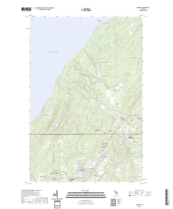
2023 Map of Ahmeek
USGS Topo · Published 2023About this map
The northern tip of the Copper Country is defined by its deep industrial roots and rugged Lake Superior coastline near Sevenmile Point. This survey of the Keweenaw Peninsula captures a cluster of historic mining settlements, including Ahmeek, Mohawk, and Copper City, many of which are now preserved within the Keweenaw National Historical Park. The landscape is a network of watercourses like the Gratiot River and Hills Creek that cut through the terrain toward the Great Lake. Local genealogy and history are anchored by sites such as Ahmeek Cem, Lakeview Cem, and Schoolcraft Cem. The transition from the more developed southern towns like Calumet and Centennial Heights to the forested northern reaches is marked by small crossroads such as Bumbletown and Allouez, connected by routes like Cliff Dr and the Keweenaw State Trl.
Find a feature on this map
83 named features on this map. Tap any name to fly to it.
Don’t see what you’re looking for? This feature index may not catch every label — zoom into the map to look around manually.
Map Details
Editions of this 2023 Ahmeek Map
This is the sole edition of this map. No revisions or reprints were ever made.
Other maps of this area

1915 · Houghton
USGS Topo · 1:62,500

1941 · Ahmeek
USGS Topo · 1:31,680

1941 · Mohawk
USGS Topo · 1:31,680

1946 · Phoenix
USGS Topo · 1:24,000

1946 · Hancock
USGS Topo · 1:24,000

1946 · Mohawk
USGS Topo · 1:24,000

1946 · Muggun Creek
USGS Topo · 1:24,000

1946 · Ahmeek
USGS Topo · 1:24,000

1946 · Laurium
USGS Topo · 1:24,000

1947 · Phoenix
USGS Topo · 1:24,000