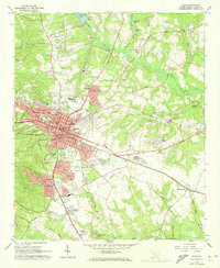
1964 Map of Aiken
USGS Topo · Published 1973About this map
The equestrian and sporting heritage of the South Carolina lowcountry is clearly visible in this mid-century survey of Aiken. The city layout is dominated by notable athletic grounds, including the Aiken Mile Track, the Whitney Polo Field, and a sprawling Steeplechase course, reflecting the area's identity as a premier winter colony for horse racing and polo. This specialized land use is balanced by the presence of institutions like the Aiken Prep Sch and St Angela Academy, alongside established neighborhoods such as Balltown and the burgeoning Crosland Park.
Find a feature on this map
87 named features on this map. Tap any name to fly to it.
Don’t see what you’re looking for? This feature index may not catch every label — zoom into the map to look around manually.
Map Details
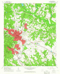
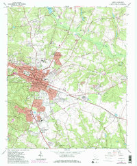
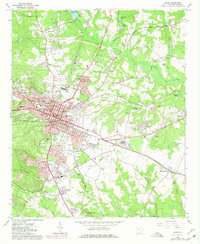
Editions of this 1964 Aiken Map
4 editions found
Other maps of this area

1920 · Aiken
USGS Topo · 1:48,000

1920 · Talatha
USGS Topo · 1:48,000

1921 · Augusta
USGS Topo · 1:62,500

1921 · Aiken
USGS Topo · 1:62,500

1921 · Talatha
USGS Topo · 1:62,500

1923 · Warrenville
USGS Topo · 1:48,000

1928 · Warrenville
USGS Topo · 1:62,500

1943 · Aiken
USGS Topo · 1:62,500

1943 · Augusta East
USGS Topo · 1:125,000

1943 · Warrenville
USGS Topo · 1:62,500