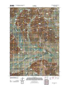
2011 Map of Airlie North
USGS Topo · Published 2011About this map
Luckiamute River and its tributary, the Little Luckiamute River, wind through this landscape of the Willamette Valley’s western edge. The map captures a primarily agricultural region defined by a high concentration of private water management, evidenced by dozens of named catchments such as McCrae Reservoir, Bauman Reservoir, and Winegar Reservoir. These features, alongside small settlements like Lewisville and Airlie, reflect a localized economy built on irrigation and rural homesteading.
Find a feature on this map
70 named features on this map. Tap any name to fly to it.
Don’t see what you’re looking for? This feature index may not catch every label — zoom into the map to look around manually.
Map Details
Editions of this 2011 Airlie North Map
This is the sole edition of this map. No revisions or reprints were ever made.
Other maps of this area

1913 · Wells
USGS Topo · 1:31,680

1914 · Independence
USGS Topo · 1:31,680

1914 · Soap Creek
USGS Topo · 1:31,680

1915 · Rickreall
USGS Topo · 1:31,680

1916 · Albany
USGS Topo · 1:62,500

1917 · Salem
USGS Topo · 1:62,500

1921 · Corvallis
USGS Topo · 1:62,500

1922 · Airlie
USGS Topo · 1:31,680

1940 · Salem
USGS Topo · 1:62,500

1942 · Corvallis
USGS Topo · 1:62,500