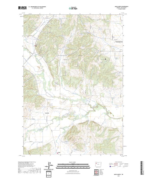
2023 Map of Airlie North
USGS Topo · Published 2023About this map
Lewisville and Airlie anchor the southern portion of this landscape, where agricultural tradition meets the winding waterways of Polk County. The terrain is defined by the convergence of the Luckiamute River and the Little Luckiamute River, a hydrological system that supported numerous small reservoirs such as McGuire Reservoir, Ratzlaff Reservoir, and Buchanan Reservoir. These water sources, combined with the sheltered topography of Cooper Hollow and Gilliam Swale, illustrate the region’s long-standing reliance on irrigation and local water management for its valley farms.
Find a feature on this map
70 named features on this map. Tap any name to fly to it.
Don’t see what you’re looking for? This feature index may not catch every label — zoom into the map to look around manually.
Map Details
Editions of this 2023 Airlie North Map
This is the sole edition of this map. No revisions or reprints were ever made.
Other maps of this area

1913 · Wells
USGS Topo · 1:31,680

1914 · Independence
USGS Topo · 1:31,680

1914 · Soap Creek
USGS Topo · 1:31,680

1915 · Rickreall
USGS Topo · 1:31,680

1916 · Albany
USGS Topo · 1:62,500

1917 · Salem
USGS Topo · 1:62,500

1921 · Corvallis
USGS Topo · 1:62,500

1922 · Airlie
USGS Topo · 1:31,680

1940 · Salem
USGS Topo · 1:62,500

1942 · Corvallis
USGS Topo · 1:62,500