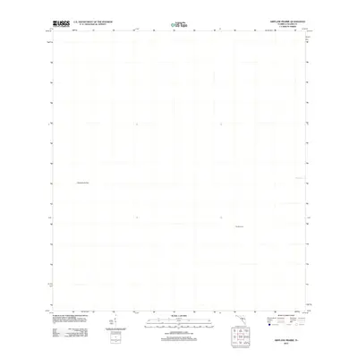
2012 Map of Airplane Prairie
USGS Topo · Published 2012About this map
Airplane Prairie defines this corner of the Big Cypress swamp in Collier County, shown here as a vast, undeveloped expanse of the Florida Everglades. This 2012 survey illustrates a landscape primarily shaped by hydrologic and terrain features rather than human infrastructure. Minimalist labels like The Bamboos suggest localized vegetation patterns or landmarks used for navigation in a region where few roads penetrate the interior. To the east, the waters of Mud Lake sit at the edge of the quadrangle, representing the characteristic wetland environments that dominate this part of South Florida. The lack of settlements or major transit routes emphasizes the natural isolation of the prairie during this era.
Find a feature on this map
3 named features on this map. Tap any name to fly to it.
Don’t see what you’re looking for? This feature index may not catch every label — zoom into the map to look around manually.
Map Details
Editions of this 2012 Airplane Prairie Map
This is the sole edition of this map. No revisions or reprints were ever made.
Other maps of this area

1956 · Miami
USGS Topo · 1:250,000

1956 · West Palm Beach
USGS Topo · 1:250,000

1957 · West Palm Beach
USGS Topo · 1:250,000

1958 · West Palm Beach
USGS Topo · 1:250,000

1958 · Miami
USGS Topo · 1:250,000

1959 · Miles City
USGS Topo · 1:24,000

1959 · Deep Lake
USGS Topo · 1:24,000

1972 · Monroe Station NE
USGS Topo · 1:24,000

1972 · Burns Lake
USGS Topo · 1:24,000

1972 · Ochopee
USGS Topo · 1:24,000