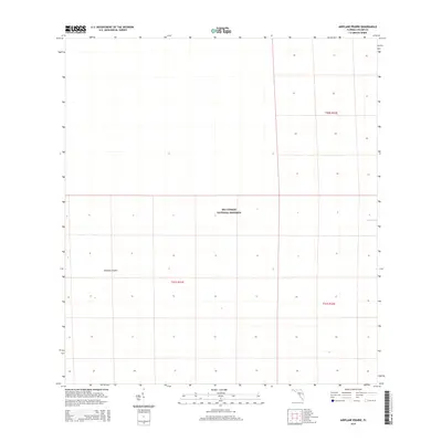
2015 Map of Airplane Prairie
USGS Topo · Published 2015About this map
Big Cypress National Preserve dominates this portion of the Florida Everglades, revealing a landscape defined by the Public Land Survey System's rigid grid against the fluid terrain of the Big Cypress Swamp. The map highlights the unique environmental character of the region, specifically Airplane Prairie, a vast open expanse of sawgrass or wet prairie that stands in contrast to the surrounding cypress strands. Located in eastern Collier County, this 2015 survey documents the hydrology of the area, including Mud Lake on the eastern edge. The absence of traditional roads or settlements reflects the protected and primitive nature of this wilderness, where section lines and township boundaries like t51s r31e and t51s r32e serve as the primary markers for navigation and land management.
Find a feature on this map
6 named features on this map. Tap any name to fly to it.
Don’t see what you’re looking for? This feature index may not catch every label — zoom into the map to look around manually.
Map Details
Editions of this 2015 Airplane Prairie Map
This is the sole edition of this map. No revisions or reprints were ever made.
Other maps of this area

1956 · Miami
USGS Topo · 1:250,000

1956 · West Palm Beach
USGS Topo · 1:250,000

1957 · West Palm Beach
USGS Topo · 1:250,000

1958 · West Palm Beach
USGS Topo · 1:250,000

1958 · Miami
USGS Topo · 1:250,000

1959 · Miles City
USGS Topo · 1:24,000

1959 · Deep Lake
USGS Topo · 1:24,000

1972 · Monroe Station NE
USGS Topo · 1:24,000

1972 · Burns Lake
USGS Topo · 1:24,000

1972 · Ochopee
USGS Topo · 1:24,000