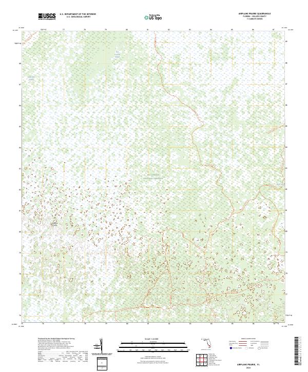
2024 Map of Airplane Prairie
USGS Topo · Published 2024About this map
Big Cypress National Preserve encompasses this entire subtropical landscape, characterized by the intricate drainage patterns of the Florida Everglades. Central to the area is Airplane Prairie, an open expanse surrounded by the dense vegetation of East Crossing Strand and Deep Lake Strand. These strands represent deeper sloughs where water-loving trees thrive amidst the broader wetland complex.
Find a feature on this map
15 named features on this map. Tap any name to fly to it.
Don’t see what you’re looking for? This feature index may not catch every label — zoom into the map to look around manually.
Map Details
Editions of this 2024 Airplane Prairie Map
This is the sole edition of this map. No revisions or reprints were ever made.
Other maps of this area

1956 · Miami
USGS Topo · 1:250,000

1956 · West Palm Beach
USGS Topo · 1:250,000

1957 · West Palm Beach
USGS Topo · 1:250,000

1958 · West Palm Beach
USGS Topo · 1:250,000

1958 · Miami
USGS Topo · 1:250,000

1959 · Miles City
USGS Topo · 1:24,000

1959 · Deep Lake
USGS Topo · 1:24,000

1972 · Monroe Station NE
USGS Topo · 1:24,000

1972 · Burns Lake
USGS Topo · 1:24,000

1972 · Ochopee
USGS Topo · 1:24,000