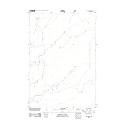
2011 Map of Ajax Ranch
USGS Topo · Published 2011About this map
Ajax Ranch and several other family-named landholdings define this segment of Beaverhead County, where the landscape is organized by a complex network of high-country drainage systems. The survey documents a series of agricultural outposts and camps, such as the Twin Lakes Cow Camp and Peterson Ranch, which are linked by rudimentary tracks like Swamp Creek Rd and Peterson Ln. Water resources are central to the geography here, with Big Swamp Creek and its tributary North Branch Big Swamp Creek cutting across the central terrain. Other distinctively named waterways, including the curiously titled Slag-a-melt Creek and Sawmill Creek, suggest the historical intersection of livestock ranching and early mountain industries. The map provides a detailed view of these rural Montana boundaries, showing the spatial relationship between isolated homesteads like Big Hole Ranch and the larger hydrological basins of Rock Creek and Big Lake Creek.
Find a feature on this map
19 named features on this map. Tap any name to fly to it.
Don’t see what you’re looking for? This feature index may not catch every label — zoom into the map to look around manually.
Map Details
Editions of this 2011 Ajax Ranch Map
This is the sole edition of this map. No revisions or reprints were ever made.
Other maps of this area

1955 · Dillon
USGS Topo · 1:250,000

1957 · Dillon
USGS Topo · 1:250,000

1958 · Dillon
USGS Topo · 1:250,000

1962 · Dillon
USGS Topo · 1:250,000

1962 · Wisdom
USGS Topo · 1:24,000

1965 · Dillon
USGS Topo · 1:250,000

1966 · Miner Lake
USGS Topo · 1:24,000

1966 · Jumbo Mountain
USGS Topo · 1:24,000
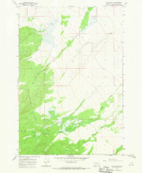
1966 · Ajax Ranch
USGS Topo · 1:24,000
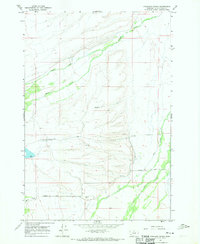
1966 · Highland Ranch
USGS Topo · 1:24,000