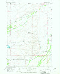
1966 Map of Highland Ranch
USGS Topo · Published 1970About this map
Highland Ranch serves as the focal point of this high-altitude landscape in the Big Hole Valley, surveyed during the mid-1960s. The area is defined by a complex drainage system where Swamp Creek and Moose Creek navigate the northern terrain while Rock Creek and Big Lake Creek converge to the south. Local infrastructure is concentrated along Briston Lane, which provides access to the Briston Cem and several Gravel Pit operations.
Find a feature on this map
11 named features on this map. Tap any name to fly to it.
Don’t see what you’re looking for? This feature index may not catch every label — zoom into the map to look around manually.
Map Details
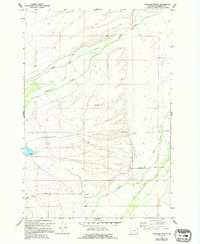
Editions of this 1966 Highland Ranch Map
2 editions found
Other maps of this area

1955 · Dillon
USGS Topo · 1:250,000

1957 · Dillon
USGS Topo · 1:250,000

1958 · Dillon
USGS Topo · 1:250,000

1962 · Dillon
USGS Topo · 1:250,000

1962 · Wisdom
USGS Topo · 1:24,000

1962 · Mud Lake
USGS Topo · 1:24,000

1965 · Dillon
USGS Topo · 1:250,000

1966 · Gibbons School
USGS Topo · 1:24,000

1966 · Big Hole Battlefield
USGS Topo · 1:24,000

1966 · Jumbo Mountain
USGS Topo · 1:24,000