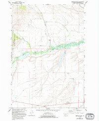
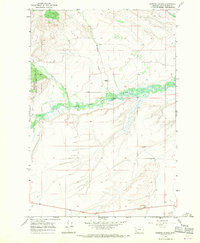
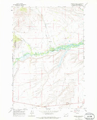
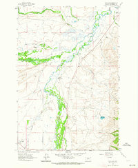
1966 Map of Gibbons School
USGS Topo · Published 1966About this map
Gibbons Sch stands as a lonely institutional marker in this mid-1960s survey of the Big Hole basin. The landscape is defined by the braided path of the North Fork Big Hole River, which meanders through a wide valley floor marked by marshes and seasonal drainage. To the west, the boundary of the Beaverhead National Forest marks the transition into more elevated terrain. The hydrology of the area is complex, fed by numerous descending watercourses including Mussigbrod Creek, Johnson Creek, and Plimpton Creek. Settlement is sparse, with the map recording only scattered infrastructure like a Well and a Gravel Pit, suggesting a quiet ranching or resource-based economy typical of this high-altitude Montana valley during the mid-twentieth century.
Find a feature on this map
13 named features on this map. Tap any name to fly to it.
Don’t see what you’re looking for? This feature index may not catch every label — zoom into the map to look around manually.
Map Details
Editions of this 1966 Gibbons School Map
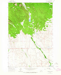
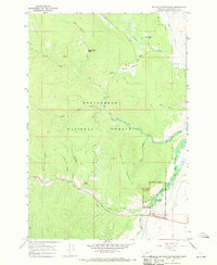
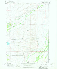
Other maps of this area

1955 · Dillon
USGS Topo · 1:250,000

1957 · Dillon
USGS Topo · 1:250,000

1958 · Dillon
USGS Topo · 1:250,000

1962 · Dillon
USGS Topo · 1:250,000
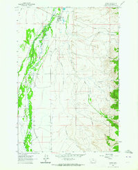
1962 · Wisdom
USGS Topo · 1:24,000
1962 · Mud Lake
USGS Topo · 1:24,000
1962 · Pintlar Lake
USGS Topo · 1:24,000

1965 · Dillon
USGS Topo · 1:250,000
1966 · Big Hole Battlefield
USGS Topo · 1:24,000
1966 · Highland Ranch
USGS Topo · 1:24,000