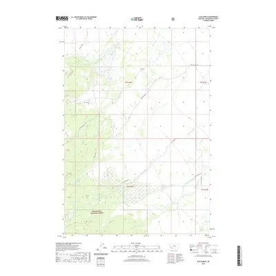
2020 Map of Ajax Ranch
USGS Topo · Published 2020About this map
Ajax Ranch sits as a central landmark in this high-altitude landscape of Beaverhead County, where complex drainage networks define the terrain. The northern reaches are characterized by Big Lake Cr and the waters of Rock Cr, while the southern portion transition into the protected lands of the Beaverhead National Forest. This 2020 survey reveals a web of waterways including the distinctively named Slag-a-melt Cr and Sawmill Cr, suggesting a history of resource use in the area.
Find a feature on this map
23 named features on this map. Tap any name to fly to it.
Don’t see what you’re looking for? This feature index may not catch every label — zoom into the map to look around manually.
Map Details
Editions of this 2020 Ajax Ranch Map
This is the sole edition of this map. No revisions or reprints were ever made.
Other maps of this area

1955 · Dillon
USGS Topo · 1:250,000

1957 · Dillon
USGS Topo · 1:250,000

1958 · Dillon
USGS Topo · 1:250,000

1962 · Dillon
USGS Topo · 1:250,000

1962 · Wisdom
USGS Topo · 1:24,000

1965 · Dillon
USGS Topo · 1:250,000

1966 · Miner Lake
USGS Topo · 1:24,000

1966 · Jumbo Mountain
USGS Topo · 1:24,000
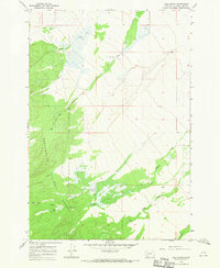
1966 · Ajax Ranch
USGS Topo · 1:24,000
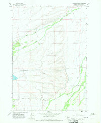
1966 · Highland Ranch
USGS Topo · 1:24,000