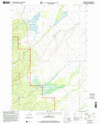
1997 Map of Ajax Ranch
USGS Topo · Published 2002About this map
Ajax Ranch stands at the heart of this high-elevation landscape, where the Beaverhead National Forest occupies the southwestern portion of the map. This area is defined by a dense network of high-country drainage, primarily focused on the Big Lake Creek and the intricate forks of Big Swamp Creek. To the south, the Twin Lakes Cow Camp indicates the historical grazing activity typical of this part of Beaverhead County. The hydrologic patterns are remarkably complex, featuring uniquely named tributaries such as Slag-a-melt Creek and Sawmill Creek, while the presence of North Branch Big Swamp Creek and South Branch Big Swamp Creek suggests a large wetland basin at these upper elevations. This 1990s revision provides a detailed view of the forest boundary and the sparse, functional settlements required for ranching and forest management.
Find a feature on this map
13 named features on this map. Tap any name to fly to it.
Don’t see what you’re looking for? This feature index may not catch every label — zoom into the map to look around manually.
Map Details
Editions of this 1997 Ajax Ranch Map
This is the sole edition of this map. No revisions or reprints were ever made.
Other maps of this area

1955 · Dillon
USGS Topo · 1:250,000

1957 · Dillon
USGS Topo · 1:250,000

1958 · Dillon
USGS Topo · 1:250,000

1962 · Dillon
USGS Topo · 1:250,000

1962 · Wisdom
USGS Topo · 1:24,000

1965 · Dillon
USGS Topo · 1:250,000

1966 · Miner Lake
USGS Topo · 1:24,000

1966 · Jumbo Mountain
USGS Topo · 1:24,000
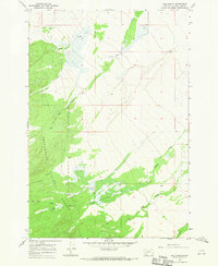
1966 · Ajax Ranch
USGS Topo · 1:24,000
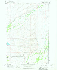
1966 · Highland Ranch
USGS Topo · 1:24,000