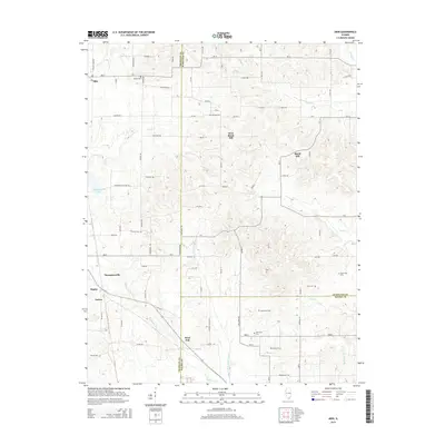
2015 Map of Akin
USGS Topo · Published 2015About this map
Thompsonville and Akin serve as primary anchors in this southern Illinois landscape where the borders of Franklin, Hamilton, and Saline counties converge. The terrain is defined by the drainage network of the Middle Fork Saline River and its various tributaries, including Ewing Cr, Rector Cr, and Hogg Cr. This rural expanse is dotted with small, historically significant settlements like Rural Hill, West Rural Hill, and West End, which represent the enduring agricultural community of the region.
Find a feature on this map
90 named features on this map. Tap any name to fly to it.
Don’t see what you’re looking for? This feature index may not catch every label — zoom into the map to look around manually.
Map Details
Editions of this 2015 Akin Map
This is the sole edition of this map. No revisions or reprints were ever made.
Other maps of this area

1908 · Galatia
USGS Topo · 1:62,500

1909 · West Frankfort
USGS Topo · 1:62,500

1938 · Galatia
USGS Topo · 1:62,500

1939 · Ina
USGS Topo · 1:62,500

1941 · West Frankfort
USGS Topo · 1:62,500

1942 · McLeansboro
USGS Topo · 1:62,500

1943 · Ina
USGS Topo · 1:62,500

1945 · McLeansboro
USGS Topo · 1:62,500

1949 · Paducah
USGS Topo · 1:250,000

1950 · Paducah
USGS Topo · 1:250,000