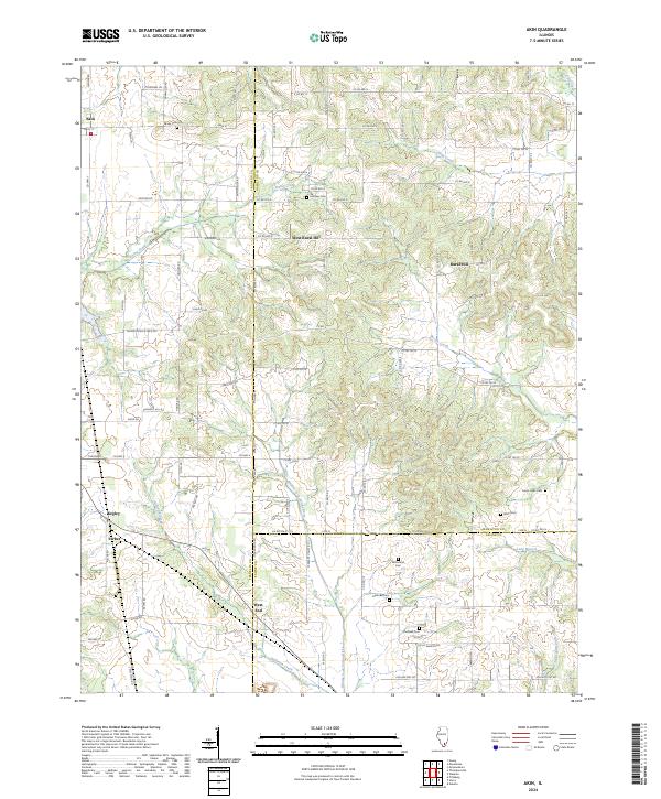
2024 Map of Akin
USGS Topo · Published 2024About this map
Akin and West End anchor a landscape defined by the intersection of three Southern Illinois counties: Franklin, Hamilton, and Saline. This agricultural and rolling region is marked by a network of drainage systems, including Ewing Creek in the north and the Middle Fork Saline River which flows south toward Halltown Creek. The map reveals a high density of small, family-named burial grounds like Brady Cem, Lampley Cem, and McFarland Cem, suggesting long-established rural lineages that remain central to the area's identity.
Find a feature on this map
86 named features on this map. Tap any name to fly to it.
Don’t see what you’re looking for? This feature index may not catch every label — zoom into the map to look around manually.
Map Details
Editions of this 2024 Akin Map
This is the sole edition of this map. No revisions or reprints were ever made.
Other maps of this area

1908 · Galatia
USGS Topo · 1:62,500

1909 · West Frankfort
USGS Topo · 1:62,500

1938 · Galatia
USGS Topo · 1:62,500

1939 · Ina
USGS Topo · 1:62,500

1941 · West Frankfort
USGS Topo · 1:62,500

1942 · McLeansboro
USGS Topo · 1:62,500

1943 · Ina
USGS Topo · 1:62,500

1945 · McLeansboro
USGS Topo · 1:62,500

1949 · Paducah
USGS Topo · 1:250,000

1950 · Paducah
USGS Topo · 1:250,000