
1954 Map of Akron
USGS Topo · Published 1956About this map
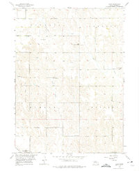
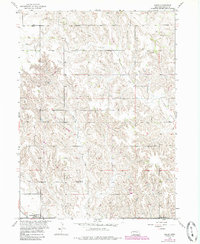
Boone County farmsteads and rural school districts define the landscape in this mid-century survey of the Bonanza, Ashland, Dublin, and Roselma precincts. The settlement of Akron is anchored by the Akron Cem, while the southern edge of the quadrangle shows the village of Primrose along the Up railroad line. The map reveals an agrarian society still organized around local education, evidenced by numerous numbered and named schoolhouses such as School No 79, Dennison Sch, and the Red Sch. The drainage of Plum Creek and Silver Valley Creek carves through the terrain, providing the primary water sources for the surrounding pastures. Notable family landmarks like the Dennison Cem and a singular Windmill on the western plains offer specific points of interest for local history researchers and genealogists tracing early Nebraska homesteads.
Find a feature on this map
21 named features on this map. Tap any name to fly to it.
Don’t see what you’re looking for? This feature index may not catch every label — zoom into the map to look around manually.
Map Details
Editions of this 1954 Akron Map
Other maps of this area

1954 · Cedar Rapids
USGS Topo · 1:24,000

1954 · Spalding
USGS Topo · 1:24,000

1954 · Albion West
USGS Topo · 1:24,000

1954 · Cedar Rapids SE
USGS Topo · 1:24,000

1954 · Spalding SE
USGS Topo · 1:24,000

1955 · Broken Bow
USGS Topo · 1:250,000

1956 · Broken Bow
USGS Topo · 1:250,000

1960 · Spalding 2 SE
USGS Topo · 1:24,000

1963 · Petersburg
USGS Topo · 1:24,000
1963 · Elgin SW
USGS Topo · 1:24,000