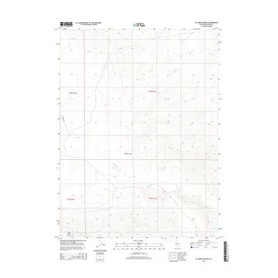
2015 Map of Al Shinn Canyon
USGS Topo · Published 2015About this map
Al Shinn Canyon provides a topographic window into the high desert landscape of Lassen County during the mid-2010s. This region is defined by its seasonal water sources and significant relief, with Smoke Cr winding through the terrain towards the southeast. The map reveals a network of vital watering points such as Wagontire Spring, Horn Springs, and Petes Spring, which have long served as essential landmarks for navigation and land use in this arid environment. Elevation reaches its peak in the southwest at Rush Creek Mtn, which overlooks the public land survey boundaries of the T32N and T33N townships. Transportation is limited to rugged tracks including Ramhorn Rd, reflecting the remote and undeveloped nature of the area.
Find a feature on this map
12 named features on this map. Tap any name to fly to it.
Don’t see what you’re looking for? This feature index may not catch every label — zoom into the map to look around manually.
Map Details
Editions of this 2015 Al Shinn Canyon Map
This is the sole edition of this map. No revisions or reprints were ever made.
Other maps of this area

1886 · Honey Lake
USGS Topo · 1:250,000

1886 · Granite Range
USGS Topo · 1:250,000

1891 · Honey Lake
USGS Topo · 1:250,000

1893 · Honey Lake
USGS Topo · 1:250,000

1894 · Granite Range
USGS Topo · 1:250,000

1954 · Observation Peak
USGS Topo · 1:62,500

1954 · Shinn Mountain
USGS Topo · 1:62,500

1955 · Westwood
USGS Topo · 1:250,000

1955 · Lovelock
USGS Topo · 1:250,000

1958 · Westwood
USGS Topo · 1:250,000