
1970 Map of Alabaster Caverns
USGS Topo · Published 1972About this map
Alabaster Caverns State Park anchors this 1970 Woodward County survey, highlighting the subterranean and surface geography of the Cimarron Gypsum Hills region. The landscape is defined by the namesake Alabaster Caverns, one of the largest gypsum caves in the world, surrounded by a complex network of drainage basins. The map illustrates a rural landscape where land use is partitioned between the townships of Penn and Union. Notable cultural landmarks include the Haskew Cem, providing a focal point for family history research, and a localized Community Center near the northern boundary. Transportation and infrastructure are represented by a dedicated Landing Strip and a Wt tower, while the natural drainage is managed by Long Creek and Slicker Creek, which carve through the gypsum-rich terrain.
Find a feature on this map
11 named features on this map. Tap any name to fly to it.
Don’t see what you’re looking for? This feature index may not catch every label — zoom into the map to look around manually.
Map Details
Editions of this 1970 Alabaster Caverns Map
This is the sole edition of this map. No revisions or reprints were ever made.
Other maps of this area

1955 · Woodward
USGS Topo · 1:250,000

1958 · Woodward
USGS Topo · 1:250,000

1970 · Fairvalley SW
USGS Topo · 1:24,000

1970 · Fairvalley SE
USGS Topo · 1:24,000

1970 · Fairvalley
USGS Topo · 1:24,000

1970 · Edith
USGS Topo · 1:24,000
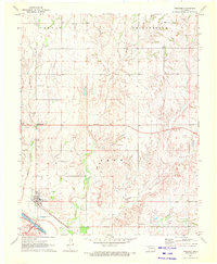
1970 · Freedom
USGS Topo · 1:24,000

1970 · Sleeping Bear Creek SE
USGS Topo · 1:24,000

1971 · Selman SE
USGS Topo · 1:24,000
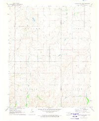
1971 · Sleeping Bear Creek
USGS Topo · 1:24,000