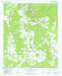
1980 Map of Alabaster
USGS Topo · Published 1980About this map
Alabaster and Siluria occupy the center of this 1980 survey, where the Louisville and Nashville and Southern railroads intersect. This industrial corridor is defined by numerous limestone extractions, with several Quarry and Gravel Pit operations dotting the landscape between Cahaba Valley and Double Mountain. The map reveals a transition from these industrial zones to established rural communities and family landmarks, such as Moores Crossroads and Brantleyville.
Find a feature on this map
55 named features on this map. Tap any name to fly to it.
Don’t see what you’re looking for? This feature index may not catch every label — zoom into the map to look around manually.
Map Details
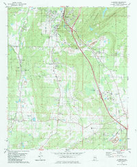
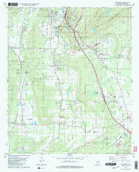
Editions of this 1980 Alabaster Map
3 editions found
Other maps of this area

1890 · Bessemer
USGS Topo · 1:125,000

1892 · Bessemer
USGS Topo · 1:125,000

1905 · Bessemer Iron District
USGS Topo · 1:62,500

1906 · Vandiver
USGS Topo · 1:62,500

1907 · Bessemer Special
USGS Topo · 1:62,500

1908 · Vandiver
USGS Topo · 1:62,500

1909 · Columbiana
USGS Topo · 1:62,500

1910 · Montevallo
USGS Topo · 1:62,500

1911 · Columbiana
USGS Topo · 1:62,500

1953 · Birmingham
USGS Topo · 1:250,000