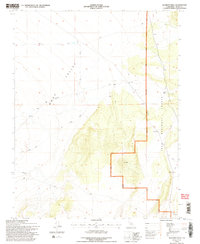
1994 Map of Alameda Well
USGS Topo · Published 1997About this map
Mono Valley provides the backdrop for this 1990s-era topographic study, which documents a landscape defined by water scarcity and historical transit routes. The presence of the Old Railroad Grade cutting across the valley floor suggests a period of industrial connectivity that has since transitioned into more rudimentary transit, now primarily served by 4wd routes. This corridor highlights the evolution of transportation in the Eastern Sierra, where rail once promised growth in an arid environment.
Find a feature on this map
8 named features on this map. Tap any name to fly to it.
Don’t see what you’re looking for? This feature index may not catch every label — zoom into the map to look around manually.
Map Details
Editions of this 1994 Alameda Well Map
2 editions found
Other maps of this area

1909 · Hawthorne
USGS Topo · 1:250,000

1911 · Hawthorne
USGS Topo · 1:250,000

1914 · Mt. Morrison
USGS Topo · 1:125,000

1915 · Hawthorne
USGS Topo · 1:250,000

1947 · Mariposa
USGS Topo · 1:250,000

1948 · Walker Lake
USGS Topo · 1:250,000

1948 · Mariposa
USGS Topo · 1:250,000

1957 · Walker Lake
USGS Topo · 1:250,000

1957 · Mariposa
USGS Topo · 1:250,000

1958 · Trench Canyon
USGS Topo · 1:62,500