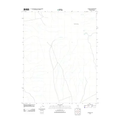
2012 Map of Alamo NE
USGS Topo · Published 2012About this map
The South Pahroc Range dominates this portion of the Lincoln County high desert, where water sources dictate the geography of human activity. This landscape is defined by its critical water points, including Sixmile Spring and Eightmile Spring, which provide essential resources in an otherwise arid environment. The presence of Twin Spring Reservoir near Twin Springs suggests a history of livestock management and range improvement, typical of Nevada’s Great Basin ranching culture. These named springs and reservoirs are not merely landmarks but signify the survival points used by generations of travelers and ranchers moving through the basin-and-range province. Remote tracks and 4WD trails weave through the drainage patterns, connecting isolated features like Rye Patch Spring and Boulder Spring across the desert floor.
Find a feature on this map
7 named features on this map. Tap any name to fly to it.
Don’t see what you’re looking for? This feature index may not catch every label — zoom into the map to look around manually.
Map Details
Editions of this 2012 Alamo NE Map
This is the sole edition of this map. No revisions or reprints were ever made.
Other maps of this area

1885 · Pioche
USGS Topo · 1:250,000

1886 · Pioche
USGS Topo · 1:250,000

1945 · Alamo
USGS Topo · 1:125,000

1954 · Caliente
USGS Topo · 1:250,000

1959 · Caliente
USGS Topo · 1:250,000

1969 · Alamo SE
USGS Topo · 1:24,000

1969 · Alamo NE
USGS Topo · 1:24,000

1969 · Alamo
USGS Topo · 1:24,000

1969 · Delamar NW
USGS Topo · 1:24,000

1969 · Ash Springs
USGS Topo · 1:24,000