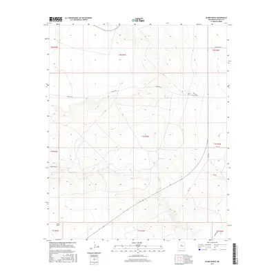
2017 Map of Alamo Ranch
USGS Topo · Published 2017About this map
Alamo Ranch sits as a primary landmark in this De Baca County landscape, surrounded by an intricate system of drainage draws and ranch roads. The topography is defined by the winding course of Yeso Cr, which traverses the southern portion of the quadrangle. Several prominent geographic depressions, including Guana Draw and Alamo Draw, reveal the erosion patterns typical of this New Mexico region. A network of rural routes such as Renegade Rd and Altito Rd provide access through the township and range divisions, while solitary water features like Red Tank punctuate the arid terrain. This 2017 survey reflects the modern management of these traditional ranchlands, showing the persistent relationship between local geography and the roads that navigate it.
Find a feature on this map
22 named features on this map. Tap any name to fly to it.
Don’t see what you’re looking for? This feature index may not catch every label — zoom into the map to look around manually.
Map Details
Editions of this 2017 Alamo Ranch Map
This is the sole edition of this map. No revisions or reprints were ever made.
Other maps of this area

1954 · Fort Sumner
USGS Topo · 1:250,000

1958 · Fort Sumner
USGS Topo · 1:250,000

1965 · Fort Sumner West
USGS Topo · 1:24,000

1966 · West Camp
USGS Topo · 1:24,000

1966 · Alamo Ranch
USGS Topo · 1:24,000

1966 · Ricardo
USGS Topo · 1:24,000

1967 · Eighteenmile Hill
USGS Topo · 1:24,000

1967 · Conejo Creek West
USGS Topo · 1:24,000
1967 · Conejo Creek East
USGS Topo · 1:24,000

1968 · Fort Sumner East
USGS Topo · 1:24,000