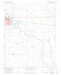
1966 Map of Alamosa East
USGS Topo · Published 1975About this map
The town of Alamosa serves as the focal point for this mid-1960s landscape, where the Rio Grande meanders through a complex network of agricultural irrigation and municipal infrastructure. The map details the urban core including the Courthouse, Cole Park, and Boyd Sch, while the city's growth is marked by the Alamosa Municipal Airport and Sewage Disposal Ponds to the east. Transportation history is visible in the active Denver and Rio Grande Western line and a parallel Old Railroad Grade further north.
Find a feature on this map
36 named features on this map. Tap any name to fly to it.
Don’t see what you’re looking for? This feature index may not catch every label — zoom into the map to look around manually.
Map Details
Editions of this 1966 Alamosa East Map
3 editions found
Other maps of this area

1954 · Trinidad
USGS Topo · 1:250,000

1955 · Trinidad
USGS Topo · 1:250,000

1958 · Trinidad
USGS Topo · 1:250,000

1959 · Trinidad
USGS Topo · 1:250,000
1965 · Baldy
USGS Topo · 1:24,000
1965 · Lasauses
USGS Topo · 1:24,000
1965 · Dry Lakes
USGS Topo · 1:24,000
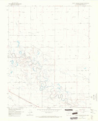
1966 · Mount Pleasant School
USGS Topo · 1:24,000
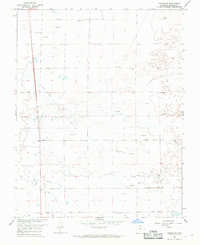
1966 · Hooper SE
USGS Topo · 1:24,000
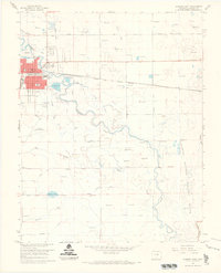
1966 · Alamosa East
USGS Topo · 1:24,000